Twelve Maps of India (India I-XII)
About
Details
URL
IMAGES
Description :
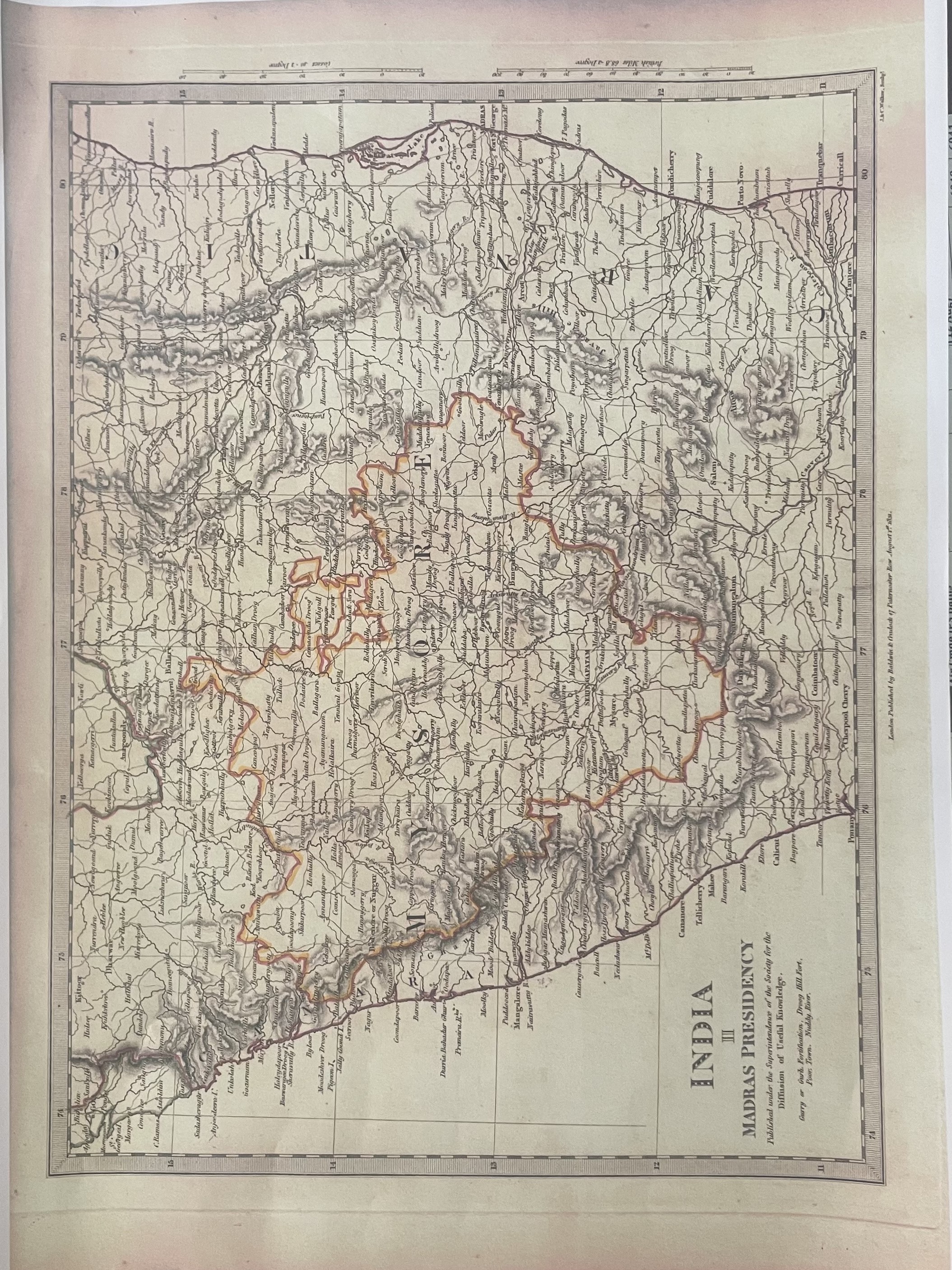
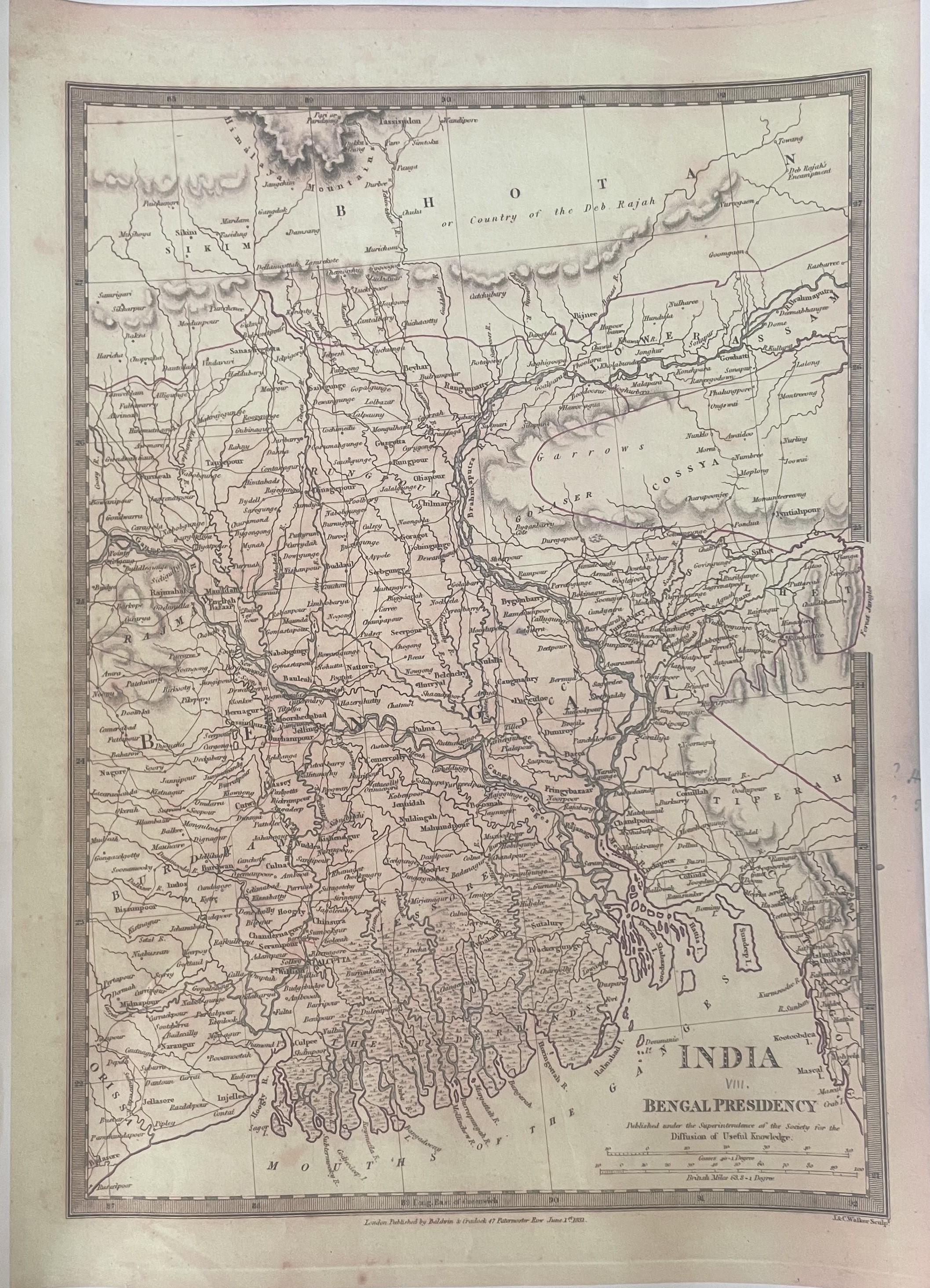
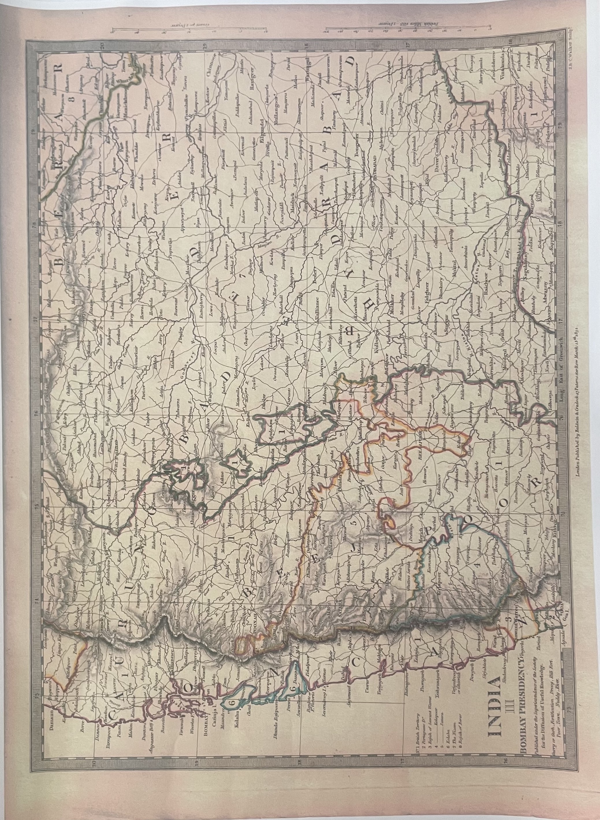
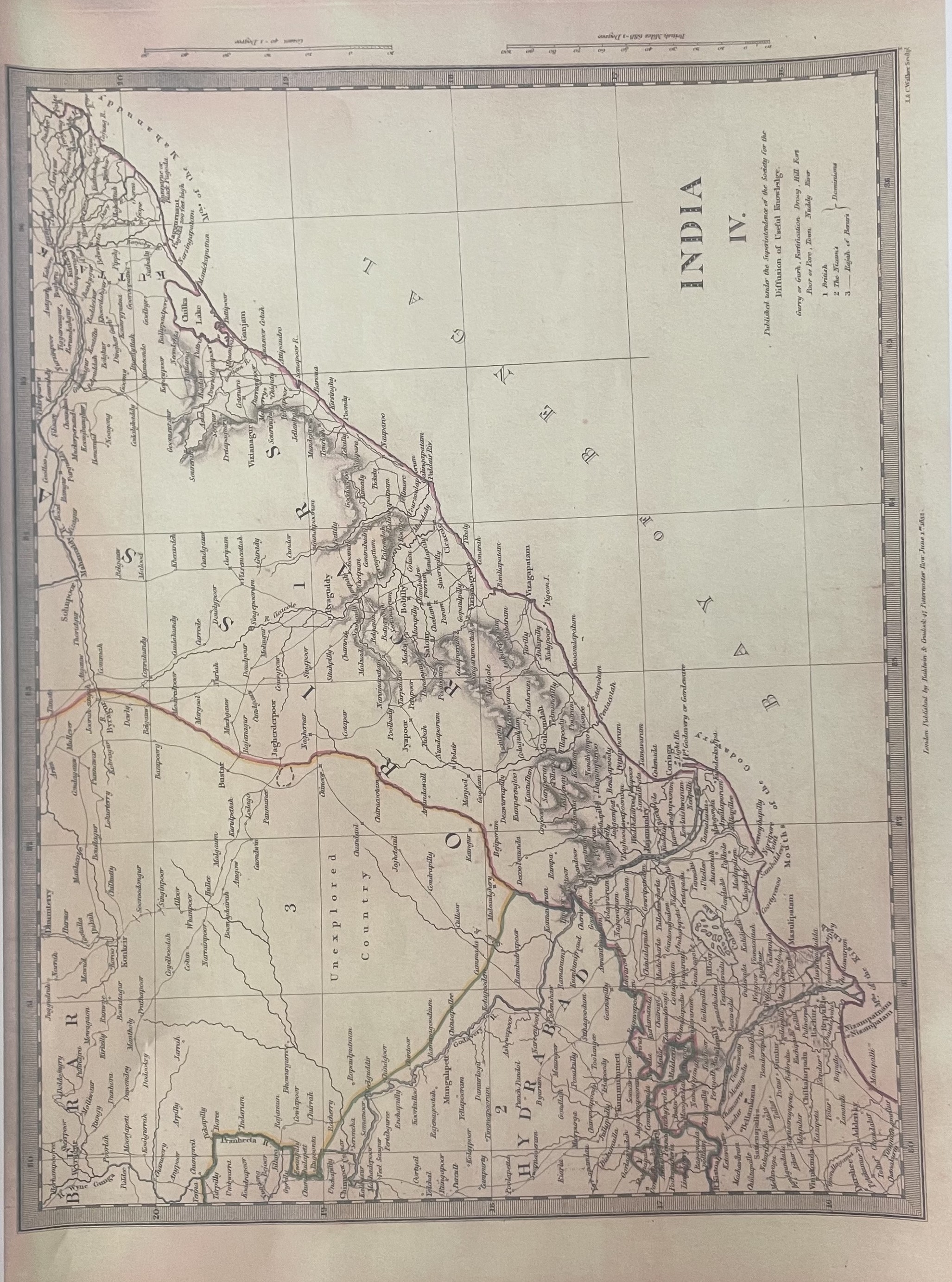
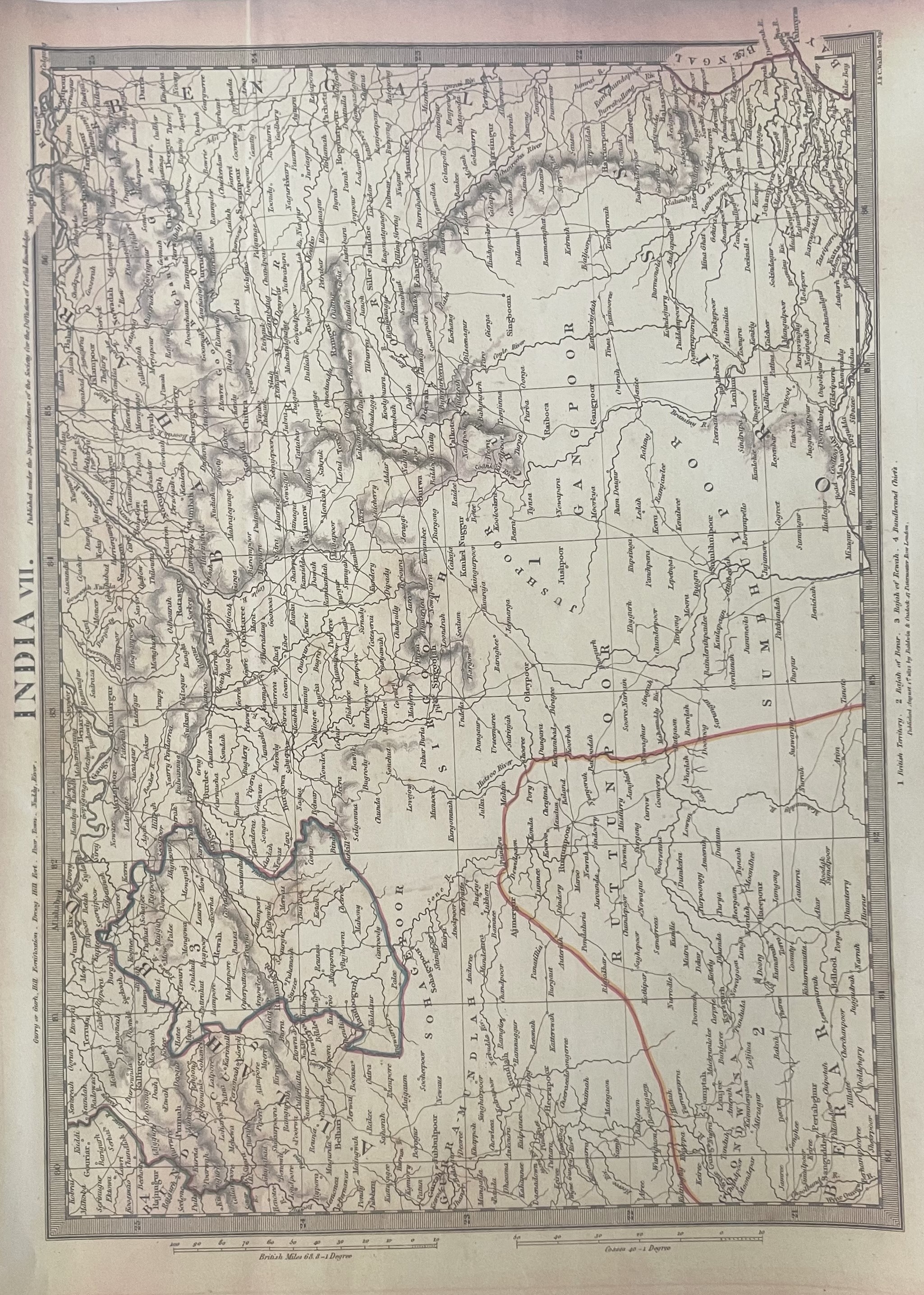
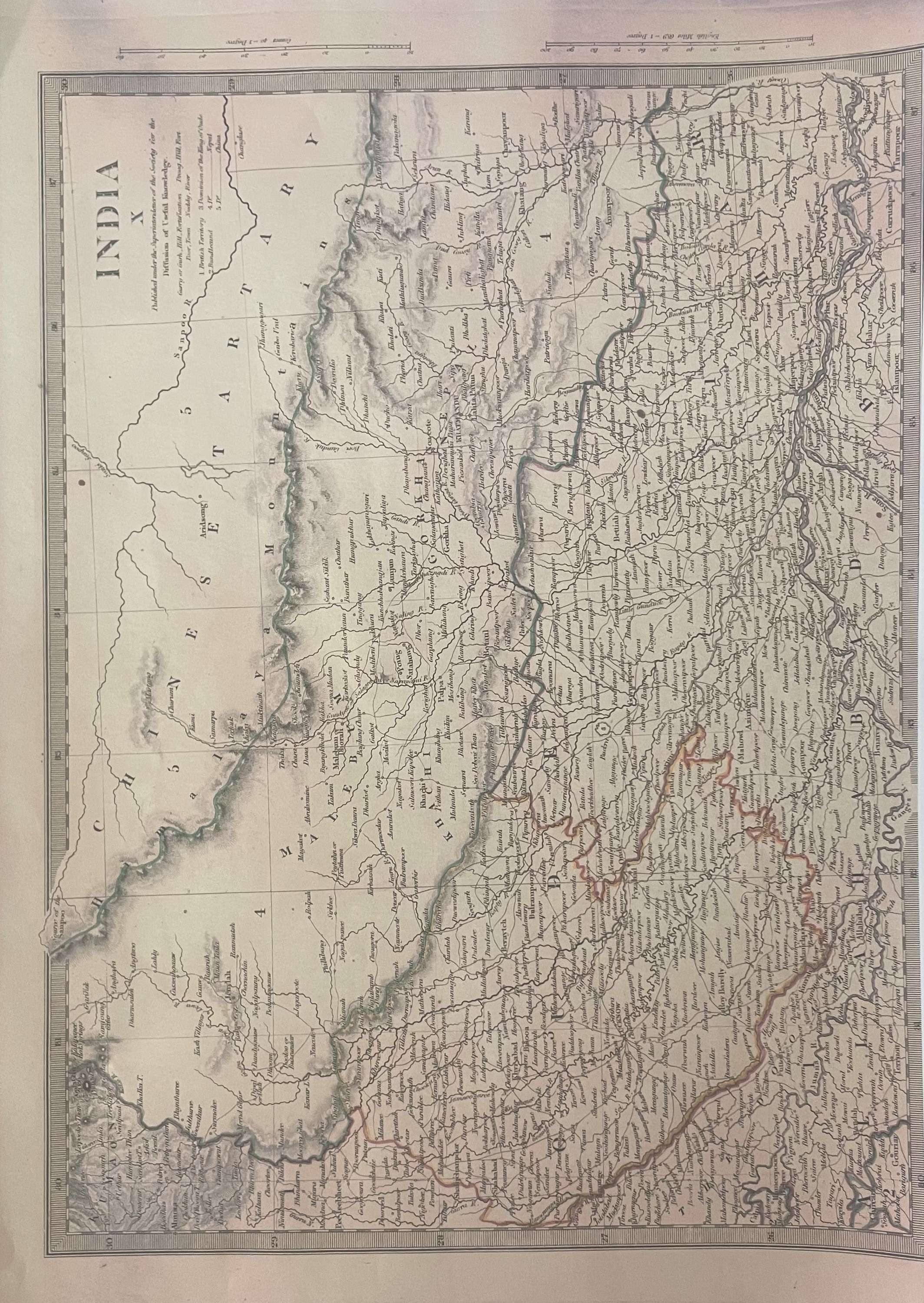
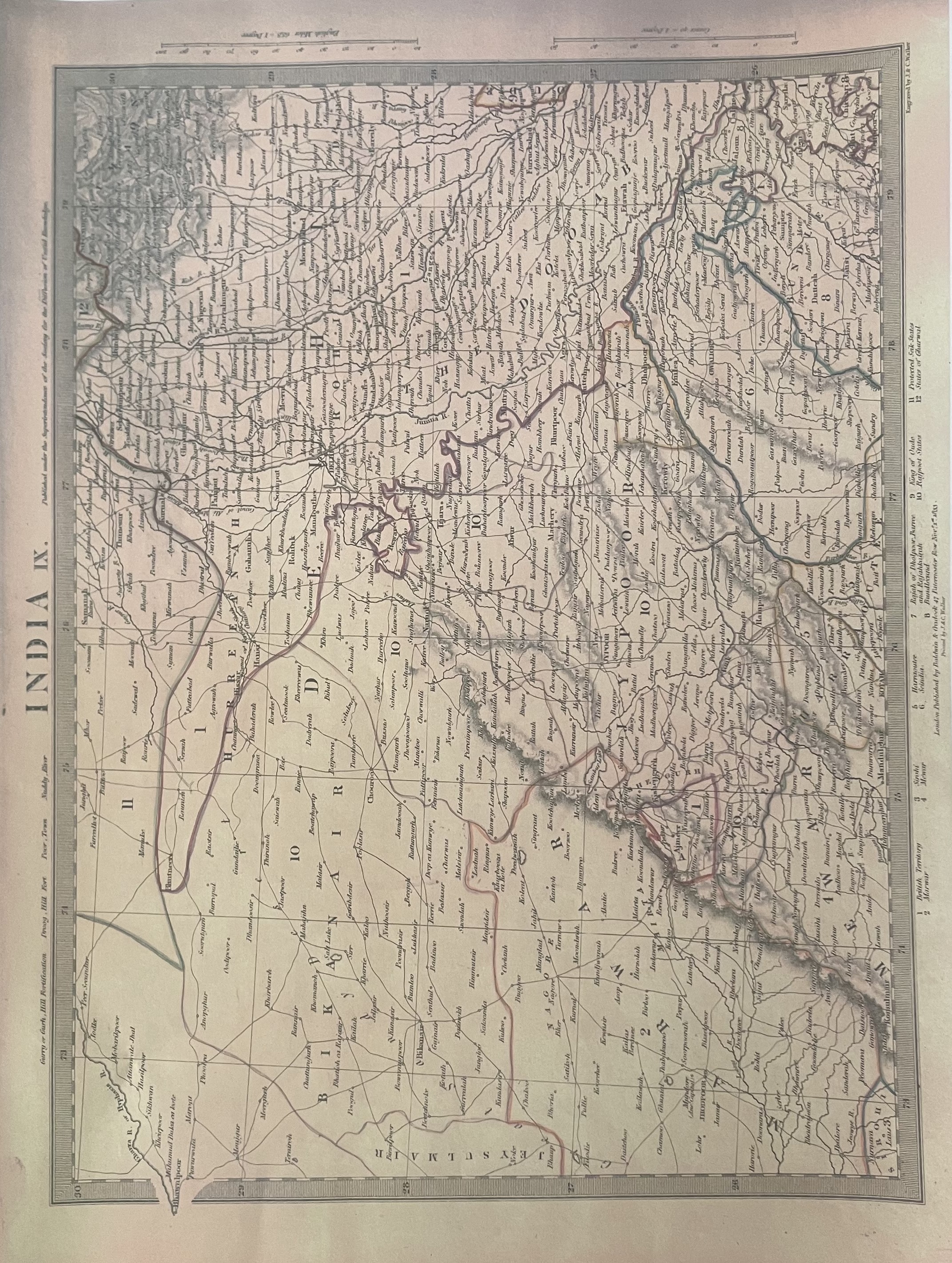
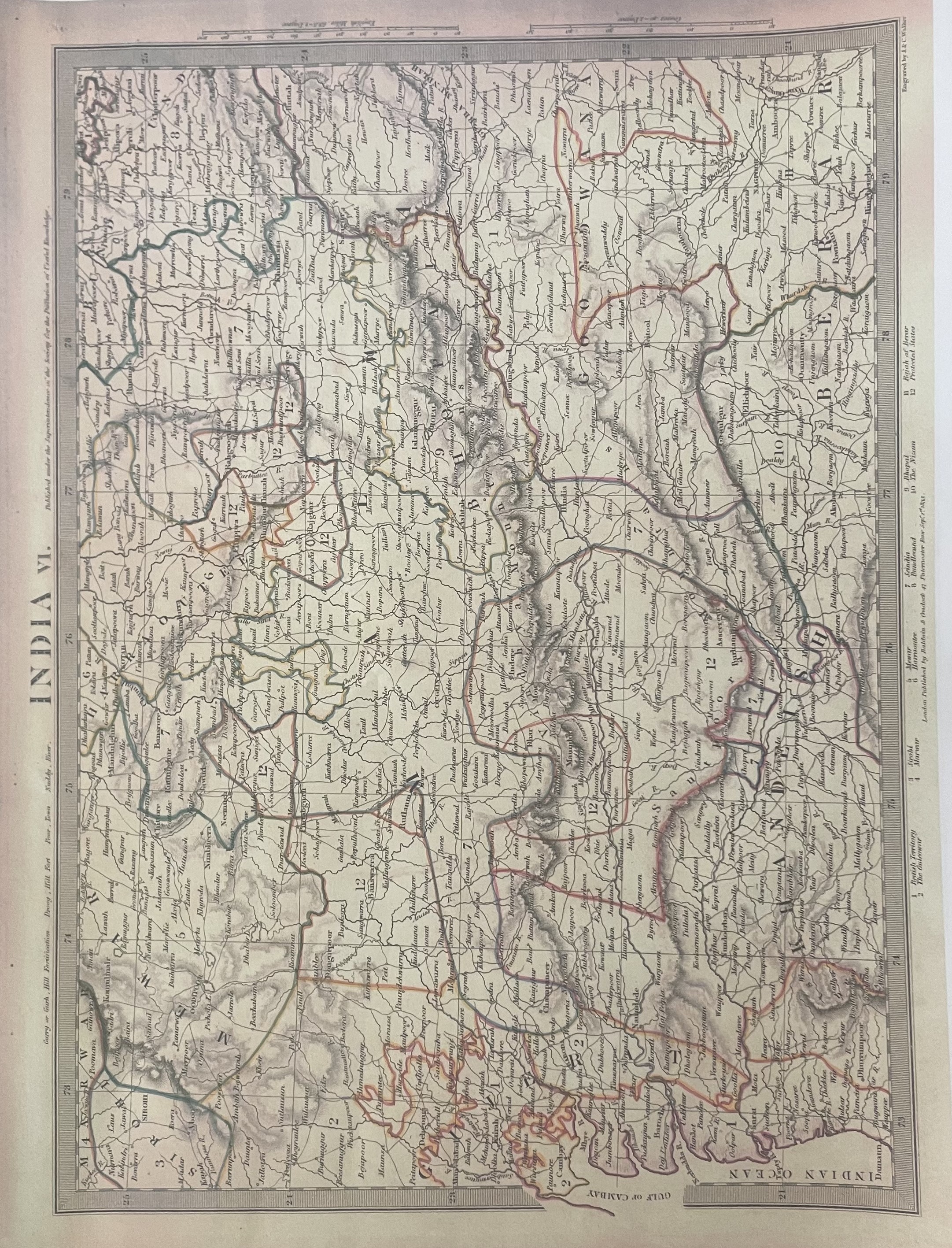
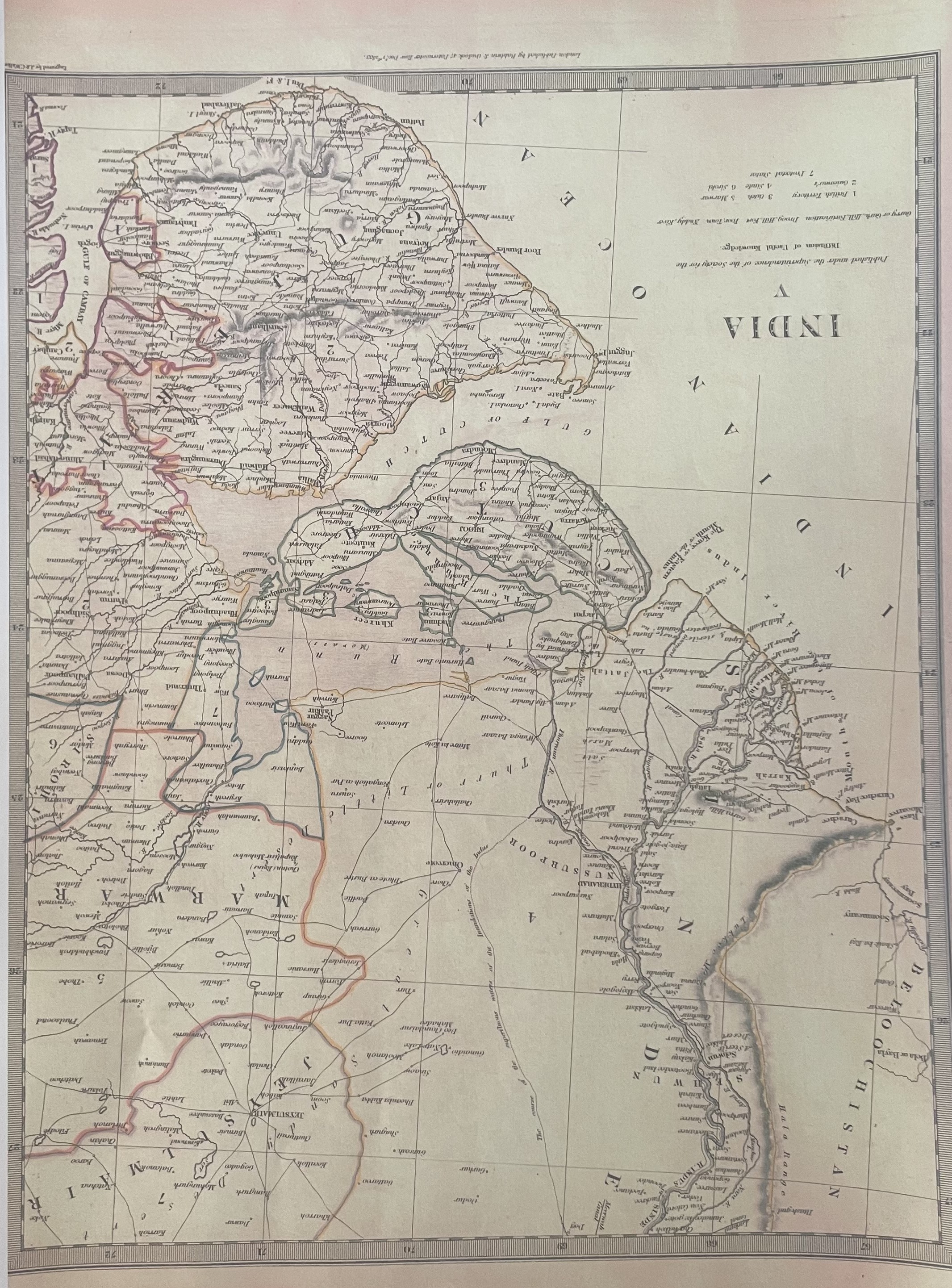
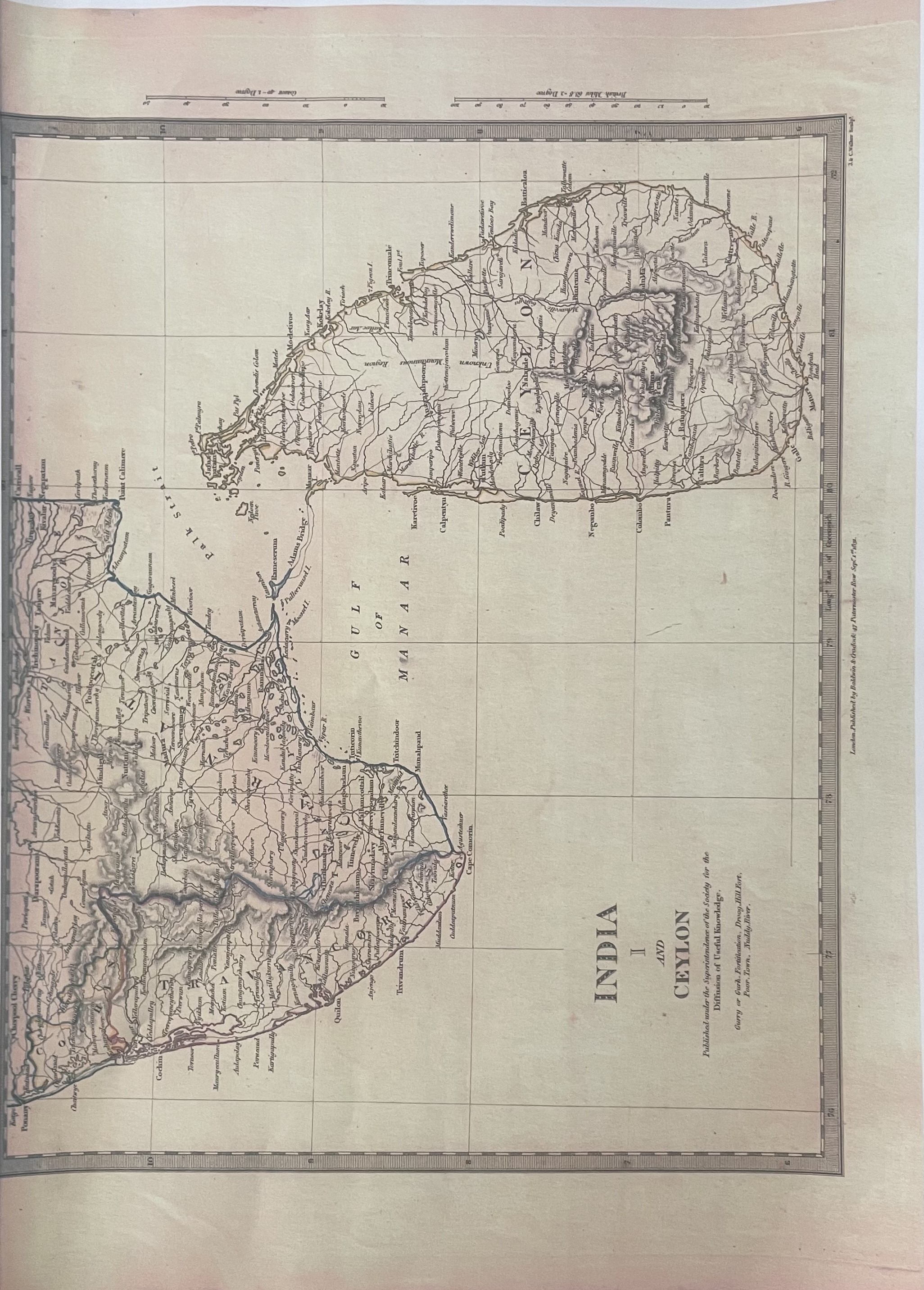
Map: India (11 regional maps + index map)
Cartographer: Baldwin & Cradock; Society for the Diffusion of Useful Knowledge
Place & Date: London / 1835
Size: 13 3/4\" x 16 3/8\" [each sheet
Condition: b&w; light overall age-toningEleven highly detailed regional maps of India plus the overall index map of the subcontinent, from the SDUK atlas. The Index map includes a number key to British possessions, states under British protection and independent states.
Creator
Baldwin & Gradock, London
Vinatge
1801-1900
Type
Geological
Scale
Most maps are 10x13.5, each. Includes a general index map and a map of Sri Lanka.
Geo Coverage
Ancient India